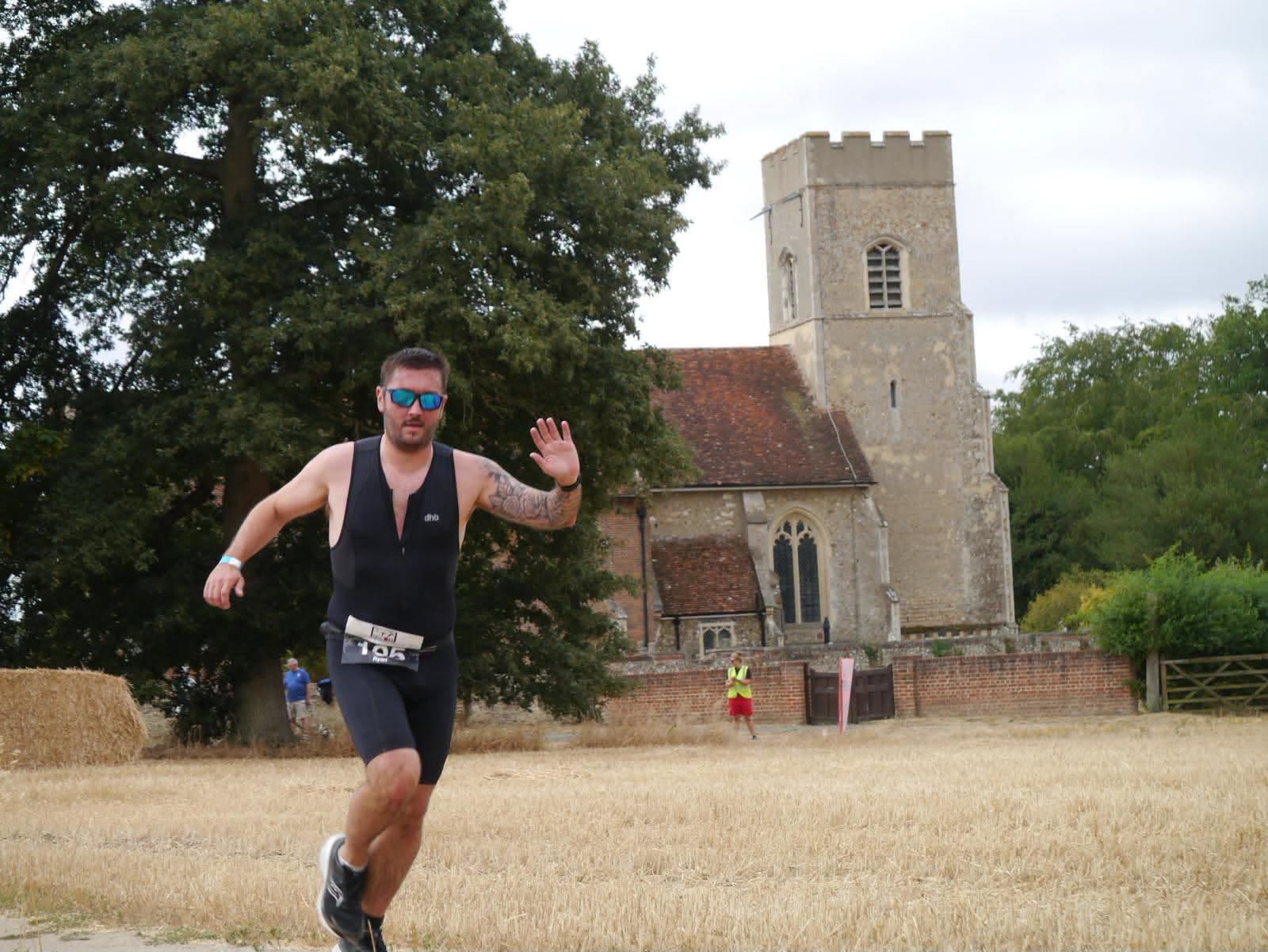
A new running route has been established that follows the River Colne from its source to the sea. Nathan Roulson of Halstead Road Runners planned the route over several weeks and completed the epic 52 mile run on 7th July, in a time of 8 hours 24 minutes.
The little known sport of FKTs (Fastest Known Times) has taken off in 2020 due to the cancellation of most running events – FastestKnownTime.com have seen a 250% increase in submissions this year.
So what is an FKT?
Essentially, it is a speed record on any given route. There is no formal race or event for these routes, which include everything from long-distance hiking trails, circumnavigations lakes or mountains, “up-and-down” times summiting an iconic peaks, or completing a linkup of multiple peaks. Anyone can submit and FKT but the route should be notable and distinct enough so that others will be interested in repeating it. And thus others can then follow the route and attempt to break the record. There are many FKT routes in wilder parts of the British Isles but only a handful in Essex.
In his book The Colne by Boat, Bike and Boot, Ken Rickwood suggests the source of the river is “an ancient spring in a field beside Ridgewell’s St Lawrence church”.
Nathan said “the location of the spring is not obvious amongst drainage ditches and is off the marked public footpath, so in order to make the route easier for others to follow, I defined the start of the route to be the main doorway of the church. It’s a really beautiful spot to start a day of walking or running”.
There are three types of FKT: Supported (where pacers or crew can hand you refreshments along the route), Self-supported (where you cache items in advance or pop into a shop) and Unsupported which means you have no external support of any kind. This means you carry everything you need from start to finish except water which you can draw from natural sources and public taps.
Nathan chose the latter and so needed to recce water stops along the route. He continues “the first water point is at Saint Barnabas Church, Chapel at 16 miles and the next at All Saints Church Brightlingsea at 35 miles. The end of the route is Colne Point Nature reserve, specifically the Colne Point SSSI sign (sight of special scientific interest) just beyond the bridge over Ray Creek.
“The terrain is maybe one-quarter paved surfaces – the rest is woodland, farmland, tree-lined river valleys, estuaries and marshes. It passes through Yeldham, the Hedinghams, the Colnes, Colchester, Wivenhoe and Brightlingsea, where it loops inland around the Brightlingsea Creek through St Osyth, to Point Clear and finally Lee-Over-Sands. Much of the route is truly beautiful and I would encourage anyone to walk or run various sections – or even the whole route.”
Notes to the Editor:
The record https://fastestknowntime.com/route/river-colne-source-sea-united-kingdom
The route https://www.google.com/maps/d/edit?mid=1_krBhuzLcZGYpMnyObWCDD95TMvgokXM&usp=sharing
Strava result https://www.strava.com/activities/3727426380 (which overlays photos on the map when viewed on a PC)